
Ridgefield Neighbors by Record Layer
A block search works only when each source is asked the question it can actually answer. AxisGIS supplies parcel geometry, an eQuality card supplies property fields, and the Town Clerk supplies recorded parties and maps. Civic groups reveal public ways to connect with a neighborhood, but they do not publish a complete list of households. The coverage below keeps those roles separate.
| Source | What it shows about a block | Access |
|---|---|---|
| AxisGIS Ridgefield | Adjacent parcel shapes and IDs, road segment, orthophoto, and selected zoning, flood, or district layers | Public map; click and browse nearby parcels |
| Ridgefield eQuality property cards | Owner/name and property fields for a street, parcel, or unit | Public vendor search, one category at a time |
| Town Clerk and SearchIQS | Recorded parties, maps, book/page citations, and related instruments | Online or at the Town Clerk; exact results may need a request |
| Connecticut SOTS voter route | Public registration, address, party, status, and participation fields under state rules | Individual route; no street-wide mode captured; CSV is restricted |
| PZC and Town minutes | Named associations, representatives, easements, and planning context | Official minutes and meeting records |
| RPD Neighborhood Watch | A civic safety program route and formation contact | Public community page; no participant list |
| Newcomers and Chamber | Public events, organization contacts, and community leads | Public pages; Newcomers member lists are private |
| Historic directories, Press, and maps | Earlier block occupants, street names, building, and event context by date | Library, RHS, and Library of Congress routes |
A parcel owner is not automatically a person who lives there. A mailing address may point elsewhere, a card may identify an entity, and a voter record may be protected or out of date. Use a date and source role with each name. The record layer can describe a block without becoming a current neighbor roster.
Note: An adjacent parcel is a map relationship, not evidence that its owner is a current neighbor.
Map Ridgefield's Block Through Parcels
AxisGIS Ridgefield is the natural first map for an address-centered question. Its search prompt accepts a parcel number or address, and the parcel format shown in the research capture is X00-0000. After selecting a parcel, the map can provide road and orthophoto context, selected zoning, flood, and district layers, and a link to an eQuality property-card PDF. The live layer menu is dynamic, so preserve the map date and do not promise a layer that is not visible in the current session.
Walk outward in this order:
- Normalize the number, street name, suffix, unit, and postal form before opening the map.
- Search the address in AxisGIS and record the parcel ID, situs, road name, and map date.
- Click the surrounding polygons and note adjacent parcel IDs, roads, and visible map layers without copying a household list.
- Follow the eQuality card link for the owner/name, unit, MBL, use, acreage, zone, building, and condominium fields, then save the card's update date.
- Use SearchIQS for a recorded party, map, or instrument when the question needs a legal-record follow-up. For a whole named street, switch to the Ridgefield street directory route.
The useful flow is simple: address, AxisGIS parcel, neighboring IDs, eQuality card, then a dated deed or map when needed. A GIS polygon is informational evidence, not proof of a boundary title or proof that a person is present. The research capture did not expose a live adjacent-parcel report, so each parcel needs its own check.
Cross-Check Ridgefield Neighbor Parcels
The Ridgefield Assessor/eQuality property-card route links property fields to the parcel question. The card site says its assessment database was updated 06/30/2026, and assessed value reflects 70% of estimated market value at the 2022 revaluation. Those dates describe the assessment system, not the date a person moved or the date a household changed.
Search one category at a time. Owner Name accepts a last-name-first form; the street control is an exhaustive Ridgefield list; location number, unit, MBL, Unique Identifier, and Condominium Complex can narrow a parcel. Property Use choices include residential, farms or barns, school, church, vacant land, and other categories. Sales filters can add dates, price, acreage, zone, design, and building characteristics.
| Owner Name | Last-name-first property-card name field; an owner or entity lead, not a current neighbor confirmation. |
|---|---|
| Location number, street, and unit | Physical parcel address and unit clues; keep the unit when a number contains multiple parcels. |
| MBL and Unique Identifier | Parcel anchors that can be more stable than a street spelling. |
| Property Use and Condominium Complex | Classification and complex context from the card search; do not turn a use code into a household claim. |
| Result columns | Street Name, Number, Unit, Name, Uniqueid, MBL, Property Use, Acres, Zone, Buildings, and Condo Complex. |
Compare the card with the situs shown on AxisGIS and with any recorded instrument. Mailing address, owner name, tax bill, voter residence, and physical presence can differ. If the card returns a municipal or organizational name, preserve that exact role instead of rewriting it as a private household.
Ridgefield Voter Rules by Block
Connecticut's centralized voter system can expose limited registration information, but it is not a street-wide neighbor directory. Public materials describe name, residence address, a different mailing address when applicable, optional phone, party or unaffiliated status, active or inactive status, and participation history. Current 2026 law makes month and day of birth exempt; only birth year remains public.
The Connecticut SOTS individual lookup is the official route, although the live capture did not expose its exact fields or result columns. The statewide CSV is a separate written-request process priced at $300. SOTS limits it to election-related, scholarly, journalistic, political, or governmental use and bars personal or private use, advertising, solicitation, harassment, and similar activity. A block question should not begin with a bulk-file request.
Address safety comes first. The Connecticut Address Confidentiality Program provides a Safe at Home substitute address for eligible participants, and voter nondisclosure is handled through the registrar and SOTS route under CGS section 9-50d. A protected result is not an invitation to test another map or roll. Stop and use the official privacy contact instead.
Note: A voter registration record confirms a registration entry under state rules, not physical presence at a Ridgefield address today.
Mountainview, Hillsdale, and Island Hill
Ridgefield's community geography appears in public planning records, but a place reference is not the same as a member roster. The March 18, 2025 Planning and Zoning Commission minutes mention Mountainview, Hillsdale, and Island Hill Neighbors Association. The record identifies Christopher Rees at 4 Mountainview Avenue in connection with the public meeting.
That minute confirms an association reference and a meeting participant. It does not establish a public list of the association's members, every address in an area, or a boundary for a current block. For a record-specific question, use the official minute or Town contact rather than inferring a roster from a nearby parcel.
The distinction matters in Ridgefield because local names can work as search clues while still having different meanings in a map, directory, planning record, or community conversation. Keep the document date and the exact name used by the public record.
Note: A planning-minute association reference does not create a public membership list or a boundary for every nearby address.
Ridgefield Neighborhood Watch and Civic Safety
The Ridgefield Police community-policing page supplies a civic route for forming a Neighborhood Watch program and identifies Captain Knoche at 203-431-2797. Signs and a formation contact can help a block organize around safety awareness without exposing a participant list. The program is a community channel, not a directory of who lives on a road.
Use the public contact for program questions, not for a private request about an individual household. A civic group can offer local context or a way to meet people who choose to participate. It cannot confirm every adjacent occupant, protected address, or person currently present.
The Ridgefield Police Neighborhood Watch resource illustrates the difference between a public safety program and a resident list.
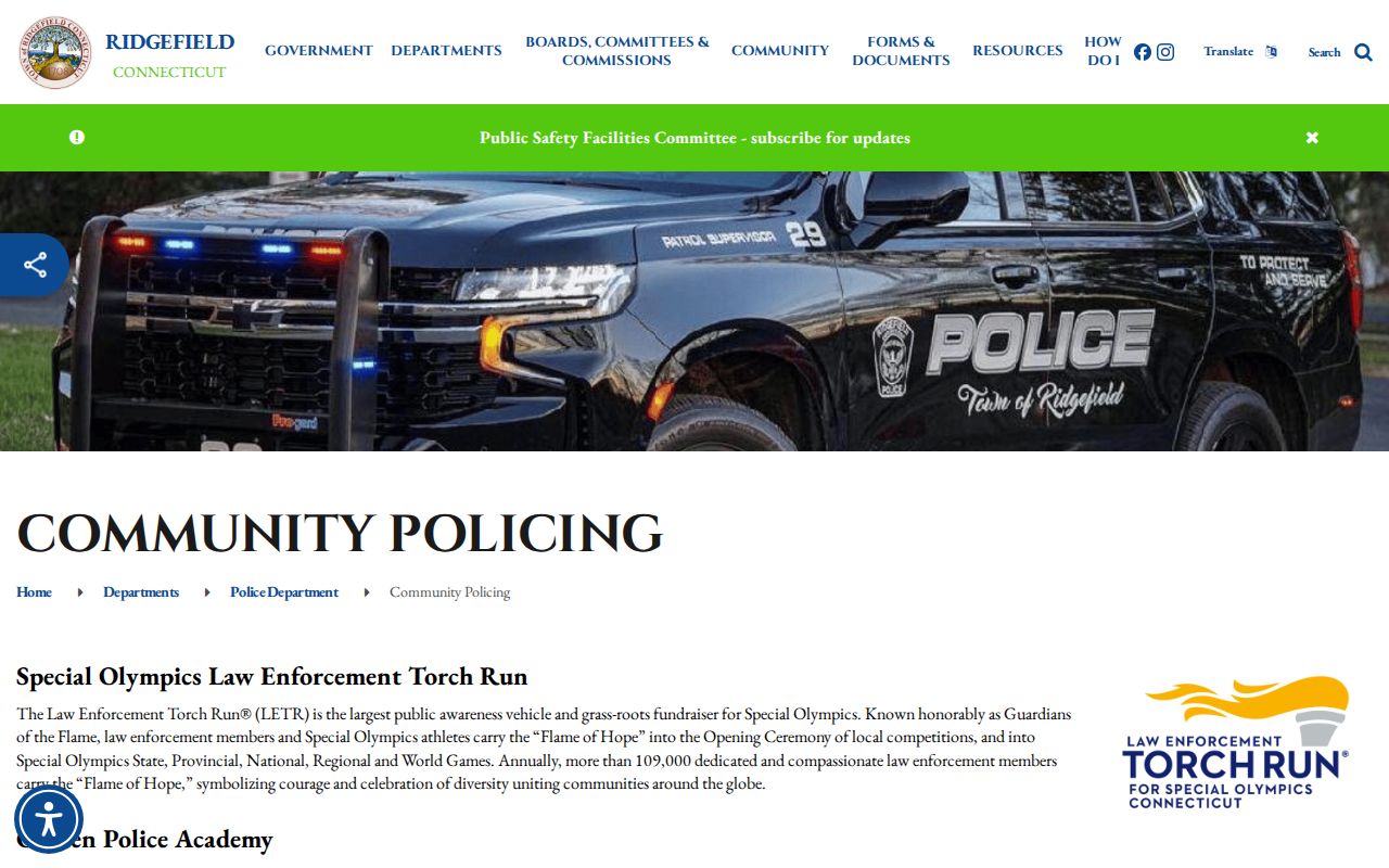
The image points to the public program route. It does not show a roster, and the same limit applies to a block lookup built from public parcel records.
Ridgefield Newcomers and Member Access
Ridgefield Newcomers was founded in 1967 and maintains public events and contact information. Its charter, adopted July 1, 2026, says the membership directory and activity-group lists are for members. That makes the organization useful for public community discovery, but not a public resident directory.
The Ridgefield Newcomers charter is a clear example of the access boundary. A visitor may learn about events or ask about membership through the public route, while a private directory remains inside the organization. The 2026 Nonprofit Fair lists 53 local organizations, which can seed public civic research without turning attendees or members into a household list.
The Ridgefield Chamber at 383 Main Street, Suite 2B, 203-438-5992, offers public business and community leads through its Chamber site. Featured businesses and public contacts are not a complete list of people living near a parcel.
The Newcomers charter shows the member-directory boundary that matters when a community organization is part of a Ridgefield block search.
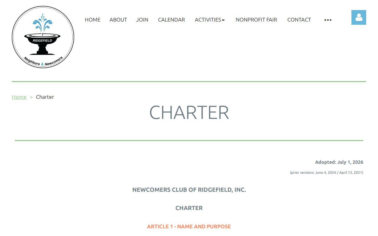
The image supports the distinction between public events and member-only activity lists. Use the public contact route, and do not infer membership from an address, event photo, or nearby organization.
Mountainview, Hillsdale, and Island Hill
PZC minute reference
No public roster located.
Ridgefield Neighborhood Watch
RPD community-policing route
Captain Knoche, 203-431-2797.
Ridgefield Newcomers
Public events and contact
Directory and activity lists are member-only.
Ridgefield Chamber
Public business leads
383 Main Street, Suite 2B; 203-438-5992.
Historic Place Names Around the Ridgefield Block
Branchville, Ridgebury, Farmingville, Titicus, East Ridge, and Main Street can help sort a historical block question. The names recur in local maps, cemetery material, Press coverage, planning records, and community references, but they do not all function as formally bounded neighborhoods. Search the name beside the exact street, parcel, and source date.
The Ridgefield Historical Society collections include maps from the early 1700s through the early 2000s, including Beers and Whitlock material, historic districts, open space, zoning, schools, and graveyards. The 1940 Sanborn map set adds dated building and land-use context. Current AxisGIS geometry belongs beside those older layers, not in place of them.
East Ridge also appears in a January 21, 2026 Town meeting record as a proposed historic-district lead. Proposed material is not proof of final designation. Check the agenda, minutes, map, and application before using that status in a block story.
Ridgefield Neighbor Lookup Stops at Privacy
A block method cannot reliably show household members, private guests, delivery recipients, utility customers, protected voters, Address Confidentiality Program participants, or people who do not appear in an owner, business, civic, or historical record. It also cannot show that adjacent owners know one another, share a household, belong to an association, or are physically present today.
The Connecticut FOI Act, CGS sections 1-200 et seq., supports inspection and copies of public records subject to exemptions, but it does not create a block roster. When an official record is needed, ask the agency that maintains it and accept redactions or a protected-record limit.
Official records and commercial neighbor-lookup tools serve different purposes:
| Source type | Useful strength | Important limit |
|---|---|---|
| Official parcel, deed, voter, or civic record | Named custodian, dated fields, and a route for checking the underlying record | Role-specific, incomplete, protected, and not proof of current presence |
| Commercial people-finder tool | May combine several public or unknown data feeds in one search | Source dates and methods may be unclear; a result is not official proof of a neighbor or address |
Lawful use. Ridgefield neighbor research is for civic connection, family reconnection, local history, and personal safety awareness. Do not use a name, parcel, or address trail to watch, intimidate, harass, or harm anyone.
A good neighbor lookup ends with a dated source and a clear limit. If the record does not establish a current person, leave that question unanswered.